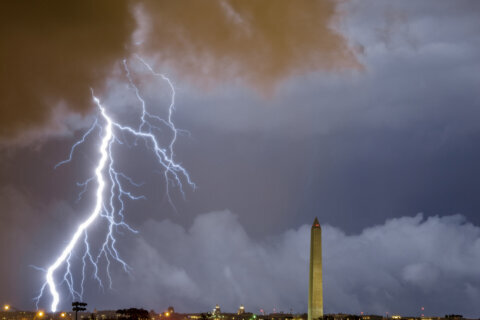
Thunderstorms are forecast to pop up in parts of the D.C. region Monday, some of which could bring heavy rainfall and damaging wind gusts.
Some areas might get a break from the persistent pattern of rainy, sticky summer days.
But others will see isolated storms Monday afternoon and evening as a cold front moves through the D.C. region.
The National Weather Service has issued a flood watch through 11 p.m. Some of the areas at risk of flash flooding include D.C., Montgomery and Prince George’s counties in Maryland as well as Arlington, Alexandria, Loudoun and Fairfax counties in Virginia.
“A few storms will dot the radar, some capable of producing brief heavy downpours that may bring some localized flooding,” said 7News First Alert Meteorologist Steve Rudin.
Monday’s system could bring 1-2 inches of rainfall an hour. That’s enough to flood certain vulnerable areas such as small streams, creeks or spots with poor drainage.
Storms are expected to wrap up late Monday night.
It’s hot and humid to start the workweek with highs into the lower 90s and a heat index punching as high as 100.
- Listen to WTOP online and on the radio at 103.5 FM or 107.7 FM.
- Current traffic conditions
- Weather forecast
- Closings and Delays
- Sign up for WTOP email alerts
- Get custom alerts with the WTOP app for Apple and Android phones
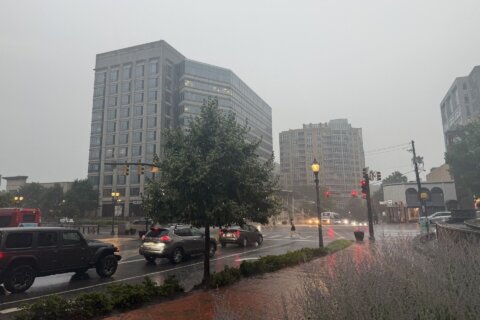
The latest unsettled forecast follows a couple days of stormy weather in the D.C. region with late-day thunderstorms popping up over the weekend. Heavy rainfall soaked parts of the area on Sunday evening.
And Monday won’t be the end of the pattern.
“Tomorrow we’re keeping our eye on a strong cold front during the afternoon evening,” Rudin said. “This front will trigger strong to severe thunderstorms with gusty winds, heavy downpours.”
There’s a possibility some of those storms could be severe. Tuesday will be humid with temperatures in the lower to middle 80s.
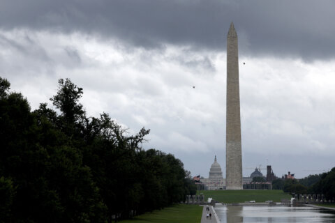
Conditions should dry out on Wednesday, with humidity expected to ease.
7News First Alert Forecast
MONDAY EVENING:
Scattered Showers and Storms
Temperatures: 80s
Winds: South 5-10 mph
MONDAY NIGHT:
Lingering Showers, Storms End
Patchy Fog
Lows: 70s
Winds: South 3-6 mph
TUESDAY: STORM ALERT
Scattered Strong to Severe PM Storm
Highs: 83-88
Winds: Southwest 10-15 mph
WEDNESDAY:
Mostly Sunny, Less Humid
Highs: 82-87
Winds: Northwest 5-10 mph
THURSDAY:
Mostly Sunny
Highs: 85-90
Winds: Northwest 5-10 mph
CURRENT CONDITIONS
Get breaking news and daily headlines delivered to your email inbox by signing up here.
© 2025 WTOP. All Rights Reserved. This website is not intended for users located within the European Economic Area.